LOS GATOS— Cal Fire conducted a historic controlled burn Nov. 4 over four acres of Soquel Demonstration State Forest, in the Santa Cruz Mountains.
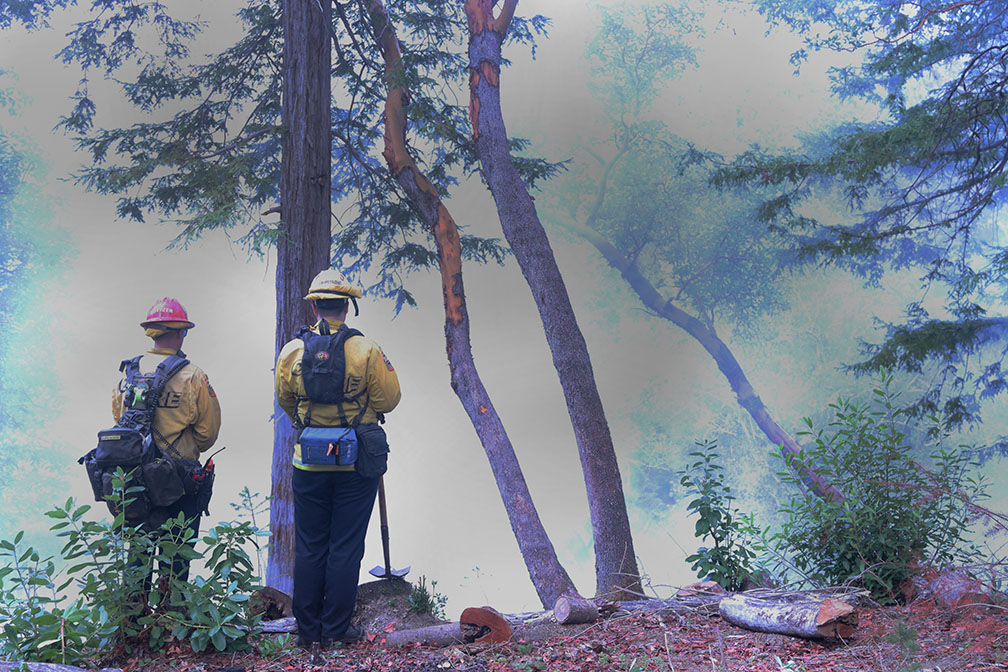
The burn came after weeks of work by the Amah Mutsun Tribal Band and the California Department of Forestry and Fire Protection (Cal Fire) to prepare some 17 acres of the redwood forest. A team of close to 30 firefighters spent the day burning the understory of the forest, their careful choreography ensuring that the fire stayed contained to the planned areas.
Forest manager Angela Bernheisel said she was glad to see the prescribed burn coming to fruition. “People would ask me when we were going to do it, when we were going to do it, and I always said, ‘When we can do it safely,’” she said. “Today’s burn has been a long time in the making.”
According to Deputy Chief Jed Wilson, based on the recent rain and other burn conditions, Cal Fire opted to burn a plot of 3.9 acres. He said the rest of the prepared forest will be burned when weather next permits.

This year has been successful for intentional burns. In addition to the Nov. 4 burn in Soquel Demonstration State Forest, Cal Fire CZU has done two other projects in Santa Clara County this year to reduce the risk of future wildfires: a 30-acre burn in Empire Grade in the Santa Cruz Mountains, as well as 25 acres of pile burning, according to Forester Sarah Collamer.
Historically, Cal Fire has not done prescribed burns in the redwoods themselves, instead burning piles of brush collected from beneath the trees. A year and a half of planning and preparation went into the Nov. 4 burn, which marked the first time that Soquel Demonstration Forest has had a controlled burn among the trees.
The burns are intended to ensure that if there is a wildfire, the firefighters can more quickly contain it to specific areas of the forest. Redwood duff, the layer of fallen needles and branches on the forest floor, can be feet deep, so controlled burns on this layer of the forest help rob wildfires of fuel.
The firefighters included a crew of young people from the California Conservation Corps, as well as a group of incarcerated firefighters from the Ben Lomond Conservation Camp. Much of the preparatory work for the burn was done by the Amah Mutsun Tribal Band, whose ancestral land includes the Soquel Demonstration State Forest, in collaboration with Cal Fire. Indigenous groups have used controlled burns to keep forests healthy for thousands of years, and Cal Fire now draws on their expertise to manage fires in the region.
While the Amah Mutsun were absent on the day of the burn itself, Bernheisel said that Cal Fire has an ongoing relationship with them and plans to work closely moving forward when members of the tribe are more available.

Managing logistics for prescribed burns includes centering the safety of firefighters and visitors and addressing the concerns of those who live near the burn site. In addition to bands of firefighters stationed around the site of the controlled fire, visitors donned protective gear, and multiple tanks of water sat in waiting yards away from the active fires. Four fire trucks also stood at the ready.
Work in advance of the burn is also a key component of ensuring that the fire is safe and controlled. Bernheisel explained that chipping and pile burning are a key part of how Cal Fire and its partners worked to clear the land and prepare it for the prescribed burn.
Max Spencer, a firefighter from the California Conservation Corps, said hand crews work to remove fuel from the edge of the burn site in advance, to prevent the fire from climbing into the tree canopy. The weather needs to cooperate for a safe burn, too.
“It’s not just any day we go out and burn,” Wilson, the deputy chief, said.
Because of moist conditions from a recent rain, fire fighters struggled to keep the fire lit. The fire kept “putting itself out,” Spencer said. Still, he and other firefighters stood at attention, waiting with the hose in case of emergency.

Patricia Marland, a longtime resident of Los Gatos, expressed her worries over the prescribed burn occurring that morning because her home is in the mountains near the burn site.
Standing on the helipad near the burn site, surrounded by fire trucks, Marland scrolled through text messages on her phone. Her neighbors in the mountains were sending photos of the column of smoke rising above the trees, asking for more information. Over the course of the day, after witnessing the fire department’s precautions and hearing about their process and intentions for the burn, her worries were eased. “I’m feeling better about it now,” she said.
While controlled burns rarely get out of control, it does happen. In October 2021, the Estrada Fire began when a prescribed fire jumped the containment lines, spreading over 150 acres of Santa Cruz County.
Wilson, the deputy chief, said community interest in the prescribed burns matters.
“There’s definitely a fear of fire in California. A lot of our work is educating people through these burns,” he said.
Linda Carlson, another resident of Los Gatos, was invited to the prescribed burn by Bernheisel, the forest manager. She came out of curiosity — she thought it’d be interesting to experience.
Carlson attended a previous Soquel Demonstration State Forest Advisory Committee meeting about this prescribed burn. After looking at the criteria set out and precautions set in place for the burn, she said it was “the perfect day” for the burn.
“I think it’s really good. I’m glad I brought my mask,” she chuckled.
Carlson, who has been evacuated from her home before due to wildfire, is more worried about intentional burns that are conducted in the summer, which could more easily get out of control due to the dryness. Most intentional burns are conducted in the wetter winter months.
A UC Davis PhD student, Francesca Rubina, trekked out to this prescribed burn as part of her research on tick-borne diseases. She was excited at the prospect of witnessing a burn in action because previously she’s only seen the burns after they ended, which was less useful for her research.
Thomas Sutfin of the Santa Cruz Mountain Alliance, a group of volunteers who organize community development projects in the area, came out to observe the prescribed burn because he’s involved in a fire prevention road maintenance project on the major county road, Summit Road. “Historically, fires come from the north and burn towards this [Lower Helipad’s] direction, so fueling in this area can stop future fires,” Sutfin said.

Cal Fire conducts an assessment of the land every five years and monitors prescribed fires qualitatively, via its visual effects, and quantitatively, via data collected from the burns. Part of the monitoring is done via drone, which is sent into the smoke around the fires to monitor the air quality index.
David Passovoy, an environmental scientist for Cal Fire’s Fire and Resource Assessment Program, said he wants to build a database from these prescribed burns that would eventually be open to the public. Those involved in the Nov. 4 burn hope to continue providing opportunities for the public to observe controlled burns, learn about efforts to build fire resiliency across California, and reduce fear of prescribed fires.